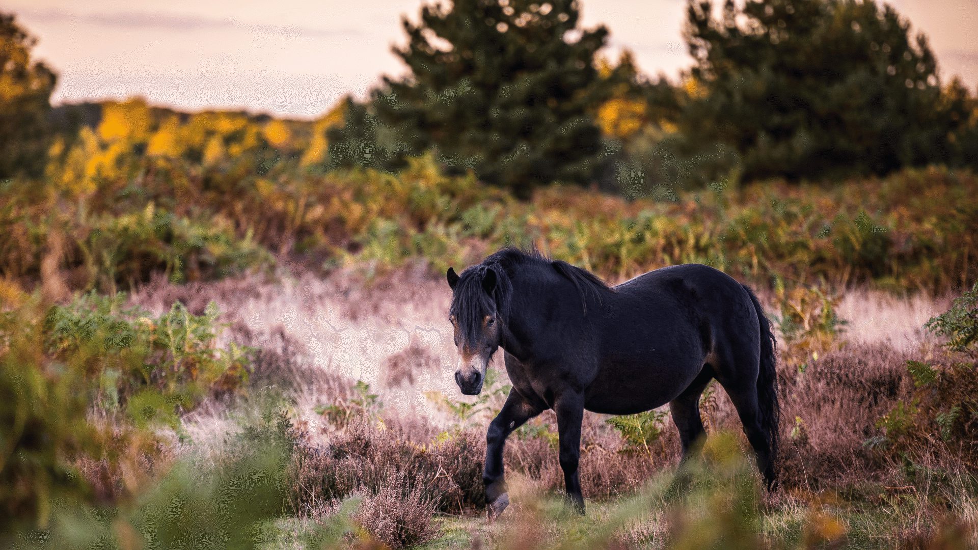
This famous canal was formed in the years 1929-1932 - by the amalgamation of many independent waterways. The aim was to provide a direct link between London and Birmingham. One of the last canals to be opened in Britain - it became the most prosperous, carrying everything from coal, sand and gravel, to pottery, raw material for paper production and even bulk salt. Running for 137 miles (220 kilometres) with 166 locks, the canal passes through the counties of Bedfordshire and Hertfordshire - and today offers leisure activities, such as boating, cycling and walking.
Stocker's Lake Nature Reserve, Batchworth Lock Canal Centre, Ashridge Estate, Tring Reservoirs
The Broads are a unique and fascinating place, so timeless and natural that its hard to believe that this landscape is man made. The story of the area begins in the Middle Ages. By the 12th C. much of east Norfolk had been cleared of its woodland for fuel and building materials. Over the following 350 years, peat digging (or turf cutting) was a major industry - this was carried out on a massive scale with almost every settlement in the area digging its own pit for extracting peat as its principal source of fuel. These diggings were abandoned by the 14th C. and as sea levels rose they became flooded creating shallow lakes or ‘broads'.
Farming became the main industry in the Broads - and many areas were artificially drained to provide grazing marshes for livestock, using a network of embankments, dykes, wind-pumps and windmills. Marshmen reaped the natural riches of the landscape - from cutting reed/sedge for thatch, to catching fish and wildfowl to sell at local markets. Meanwhile villages began to establish themselves beside the new waterways, each with their own staithe or quay for mooring boats. Boats were essential for carrying goods, and large single-sailed craft called ‘wherries' were specially built to navigate the shallow waters of the Broads. For over 200 years, they worked in the area, supplying rural villages with goods, as well as carrying imports and exports to and from the coast. Later they became the first pleasure craft for boating holidays.
With the coming of the railways in the 1870's, the Broads were discovered by the holidaymaker - and the area became a destination for those of the upper/upper-middle class seeking an 'adventure' holiday. Later in the 20th C. - with the establishment of boat hire businesses, the Broads were opened up to the mass tourist market.
Today the Norfolk and Suffolk Broads are Britain's largest nationally protected wetland, with a similar status to a national park. There are 43 broads, connected by the area's six rivers - making up to 125 miles (200 kilometres) of lock-free navigable waterways. The best way to see them is by boat, and there are many places where you can enjoy a regular excursion, or hire craft for day trips, short breaks or longer holidays. There are even Canadian-style canoes available. For the angler, The Broads offer some of the finest coarse fishing in the country - Bream, Eel, Perch, Pike, Rudd and Tench. Of course - the waterways and their surrounding fens, woodland, marshes and estuary habitats are a haven for some of Britain's rarest flora and fauna, such as the nationally protected Fen Orchid, the Norfolk Hawker Dragonfly and the Swallowtail - the country's largest butterfly. Whilst the open waters are home to freshwater aquatic plants, such as Frogbit, Bladderwort and Water Soldier. A variety of birds can be seen, such as Teal, Wigeon, Shelduck, Reed/Sedge Warblers, Bewick Swans and the Marsh Harrier. In the spring, listen out for the odd "booming" sound of the Bittern - the bird nests amongst the reeds, and its call sounds like a muffled fog horn.
NWT Ranworth Broad, Barton Broad, Cockshoot Broad, How Hill National Nature Reserve, Museum of the Broads, Hickling Broad National Nature Reserve, RSPB Berney Marshes and Breydon Water, RSPB Strumpshaw Fen Nature Reserve, Carlton Marshes Nature Reserve, Berney Arms Mill, Oulton Broad
Abberton Reservoir, Alton Water, Grafham Water, Hanningfield and Tring
Stretching out from The Wash across Cambridgeshire and Norfolk, the vast expanse of The Fens are noted for their open vistas and huge skies. This landscape is the result of man's desire to tame and control this former wet wilderness - and in turn, create some of the most fertile land in Britain (the black peat soils growing flowers, fruit and vegetables).
10,000 years ago the area was dominated by forest - East Anglia was joined to Europe by dry land, and her rivers were the tributaries of the Rhine. But as the Ice Age came to an end, the sea rose, and the forest was flooded. Millions of trees died and fell into the new wet, swampy conditions, gradually creating the rich peat soils which are cultivated today. The first people to inhabit this area were a strongly independent folk who lived in isolated communities, clinging to the few islands which rose above the marshes. Their livelihood were the eels, fish and wildfowl of the area. The Romans were the first to try their hand at drainage - constructing sea banks and waterways. Then between Domesday and the 13th C. a gradual reclamation took place - much influenced by the wealthy land-owning monks from the area's abbeys and monasteries.
The Dark Ages saw a halt to reclaimation, however by the early 17th C. a group of speculators started work on the systematic drainage of the Fens. By funding this work, they were later rewarded with large grants of the resulting farmland. Experienced engineers were commissioned, such as Dutchman Cornelius Vermuyden. His greatest scheme was the construction of the Old and New Bedford Rivers, between Earith and Denver. In between is a huge inland flood reservoir (The Ouse Washes), which could be used in times of need.
But as the drainage continued - the land unexpectedly began to shrink at an alarming rate as the soil dried out. As the level of the land dropped, water could no longer drain into the rivers, which were now higher than the fields. Wind pumps were introduced to pump the water off the land and into the rivers - later replaced by steam, diesel and today electric pumps. Today the Fens have a sophisticated and intricate network of rivers and artificial drains, controlled by sluice gates, locks and pumps. They help to protect the land from the ever present threat of rain and tide. The Fens are one of the country's most important wildlife areas, home to an enormous array of resident and visiting birds, insects and rare flora species. Enjoy the area by hiring a boat for a day or longer - both cruisers and traditional narrow-boats are available.
Key places of interest: RSPB Ouse Washes Nature Reserve, Wicken Fen National Nature Reserve, WWT Welney Wetland Centre, Holme Fen National Nature Reserve, Prickwillow Drainage Engine Museum, Woodwalton Fen National Nature Reserve
A mosaic of landscapes and habitats - with lakes and watercourses, nature reserves, meadows, open spaces, farm and woodland - inlaid with centres for leisure, sports, heritage and entertainment. The park covers some 10,000 acres, and stretches 26 miles (42 kilometres) on both sides of the River Lea, from the more rural areas of Hertfordshire and Essex, down into the heart of London's East End. This was once a great industrial area - barges transported goods (coal, timber and malt) along the important 'Lee and Stort Navigation', whilst mills produced flour, gunpowder and paper. In the 1930's, the Lea Valley was home to a vast market gardening industry (fruit, vegetables and flowers) - with almost half the greenhouses in England located here. This was due to the quality of soil, an excellent water supply and ease of access to the markets of London. The extraction of good quality gravel, deposited in the valley by the Ice Age, also became a major activity from the 1930's onwards. In 1967, the Lee Valley Regional Park Authority was established to regenerate the area for recreation and wildlife. Today there are opportunities for cycling, walking, horseriding, angling and boating. It is particularly noted as a birdwatchers paradise - in recent years, around 200 different species have been recorded. The wetlands are one of the major inland wintering areas for birds in Britain, whilst the park is also one of the best UK sites for wintering Bitterns.
Key places of interest: RSPB Rye Meads Nature Reserve, Lee Valley Boat Centre, River Lee Country Park, Lee Valley Park Farms, Royal Gunpowder Mills, Gunpowder Park
