- Home
- Business Directory
_Businesses
East of England business directory
Use our business directory to explore tourism businesses across Norfolk and Suffolk in one place. Browse by category to discover accommodation, attractions, food and drink, tours, activities and more, then use filters to narrow your search by what matters to you. Each listing includes practical information such as location, facilities, accessibility details and how to book or get in touch, helping you compare options and plan with confidence. Whether you’re shaping a weekend break, planning East of England holidays or looking for something nearby, this directory makes it easy to find the right places, save favourites and follow through for the latest details.
_ Featured Businesses

The Wiveton Bell
The Wiveton Bell, situated a mile from Blakeney, close to the unspoilt salt marshes of the North… The Wiveton Bell, situated a mile from Blakeney, close to the unspoilt salt marshes of the…

The Kings Head - Letheringsett
The Kings Head was voted Norfolk County WINNER of The National Pub & Bar Awards in 2023 & 2021 and… The Kings Head was voted Norfolk County WINNER of The National Pub & Bar Awards in 2023 & 2021…

Brickley Rise
A beautiful country cottage near Sandringham and the North Norfolk coast. Peaceful garden.… A beautiful country cottage near Sandringham and the North Norfolk coast. Peaceful garden.…

Stay In Suffolk
Stay In Suffolk - luxury self catering holiday accommodation throughout the Suffolk coastal region. Stay In Suffolk - luxury self catering holiday accommodation throughout the Suffolk coastal…
Swipe to see more items
All Businesses

The Hoste Arms
The Hoste Arms is a charming 17th-century coaching inn in the heart of Burnham Market, just minutes…

Clippesby Hall
Clippesby Hall is an award-winning independent family holiday park located in the Broads National…

Congham Hall
A Georgian manor-house in 30 acres of parkland. The herb gardens are open to the public with over…

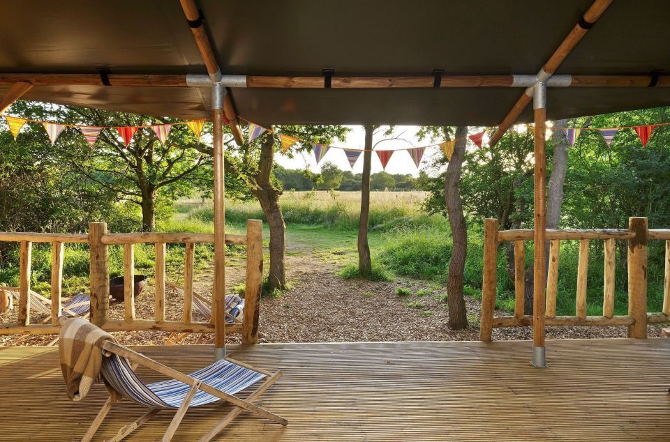
The Grove Glamping
The Grove Glamping is home to five Mongolian Yurts and a Luxury Shepherd's Lodge just a stones…

Norfolk Holiday Homes
We offer a varied selection of self-catering holiday homes along the North West Norfolk coast and…

Jimmy's Farm & Wildlife Park
Jimmy's Farm & Wildlife Park is an award winning wildlife park, rare breeds farm, restaurant and…

Museum of Norwich at The Bridewell Museum
From medieval times to modern day, the Museum of Norwich tells the story of the city's industries…

Hintlesham Hall Hotel
A 21st Century haven of comfort and friendly professionalism within a Grade 1 Listed Elizabethan…

Simply Sea Views Norfolk
An exceptional collection of coastal cottages, beach retreats and sea view holiday homes across…
Stay In Touch
Sign up for our newsletter for East of England holiday ideas, places to stay, seasonal guides and local events. We’ll share inspiration for days out, coastal breaks and countryside escapes, plus occasional highlights worth bookmarking. No spam, just helpful updates when there’s something good to share.
